Menu


Concluding the ESI’S Two-Year Pilot Project in Mocoa, Colombia
By: Danielle Baez, Research Assistant at Pratt Institute
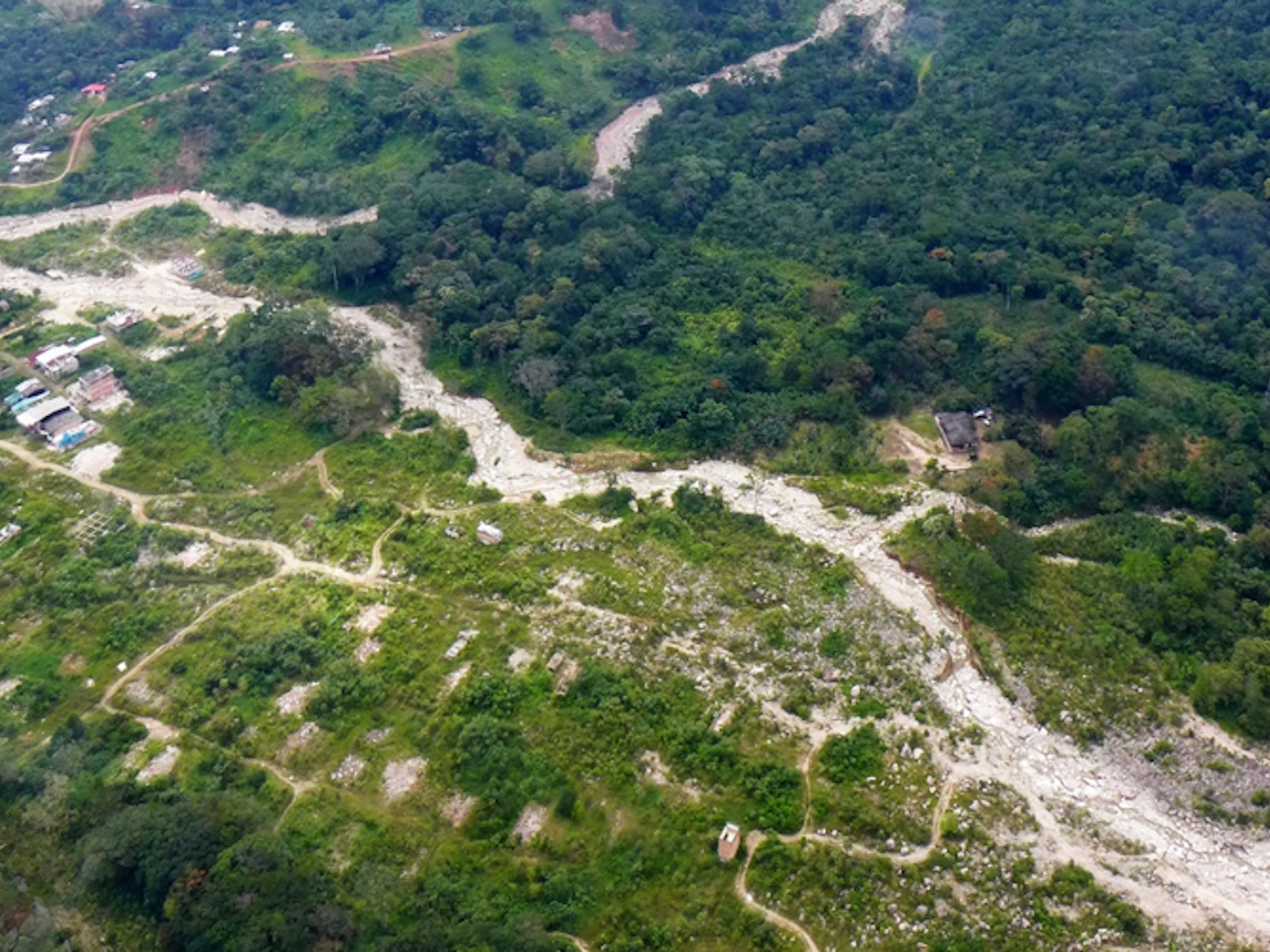
In 2017, a devastating landslide in Mocoa, Colombia caused the death of over 300 people and affected 22,000 more, including over 2,900 indigenous people belonging to nine different communities, according to Mocoa’s reconstruction Plan CONPES 3904. Corpoamazonia, the regional environmental authority for the region, has estimated that approximately 30% of the urban area is still located in high-risk areas, as portions of the displaced population have not been resettled and efforts to build an early warning system remain limited.
Following a sequence of planning workshops organized in partnership with MIT DUSP, the ESI partnered with the aforementioned Corpoamazonia (Corporación Autónoma Regional para el Desarrollo de la Amazonia), Pratt Institute’s Graduate Center for Planning and the Environment, the Colombian Ministry of Environment and Sustainable Development, and the Latin American Development Bank (CAF), among others, to launch the pilot project, “Drones for Equitable Climate Change Adaptation” (DECCA) in 2022. This pilot project aimed to develop an intervention model using an asset-based approach to community-based planning and participatory risk management with the development of technological tools for landslide monitoring.
The participatory monitoring model works through robust stakeholder engagement and the construction of a Community Researchers Network (CRN) that gives seven community leaders from varied backgrounds a seat at the table, with the ability to participate and drive much of the outreach strategy and community involvement with decision making. It pioneers new applications for unmanned aerial vehicles (drones) and integrates machine learning to process landslide susceptibility data. Ultimately, the goal of this work is to strengthen the community’s planning and risk management capacity and to build technology-enhanced strategies to monitor and respond to climate change impacts in areas facing structural challenges.
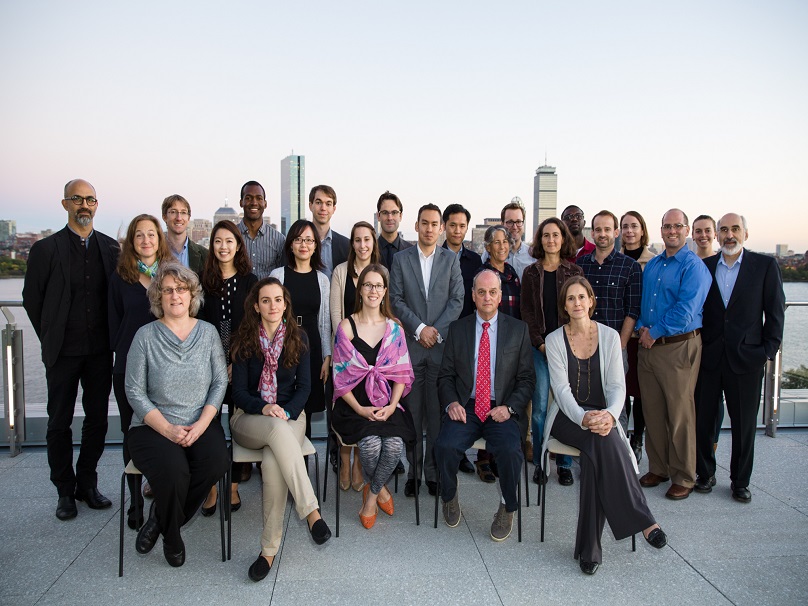
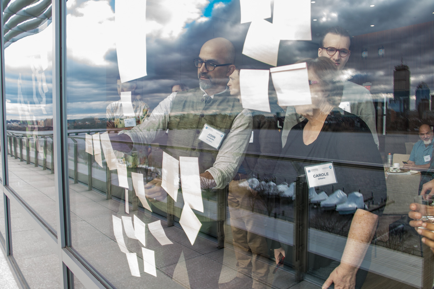
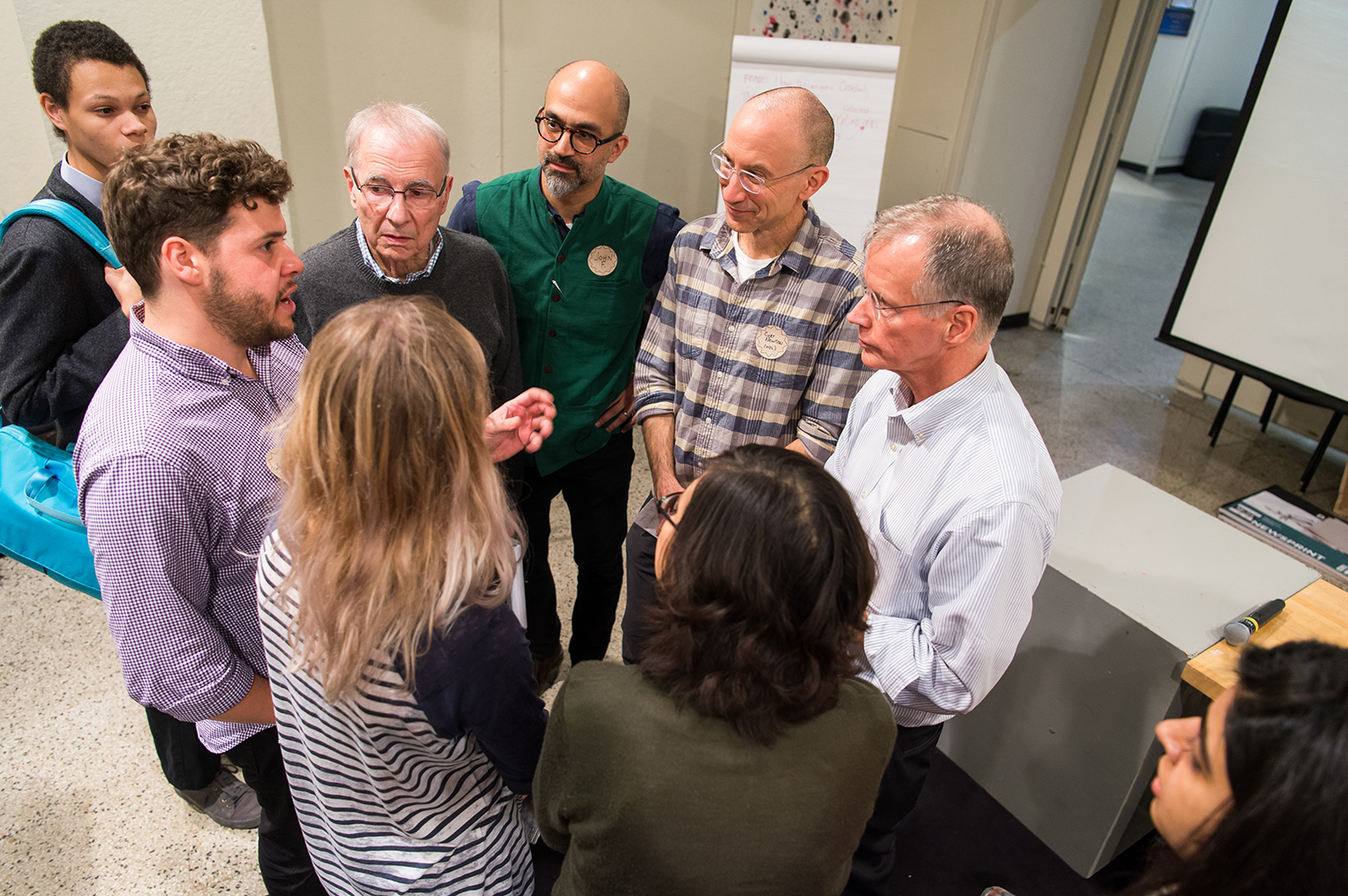
In March 2024 — after months of testing drone flights to map the middle part of the Rio Mulato watershed — the project partners convened in Mocoa to present the results of the pilot. Over the course of three days, the team facilitated and engaged in a series of workshops and public meetings to reflect on the use of the information to generate adaptation indicators and to introduce the prototype of the landslide susceptibility visualization platform to the community. Moreover, after gaining insight from this first phase, the team started delineating work areas for a potential second phase and its possibilities, including how to create a data service for financial institutions that could support data collection efforts in the future. Hosted by Corpoamazonia, the delegation included members from the ESI and project partners from Pratt Institute’s Graduate Center for Planning and the Environment, as well as representatives from CAF Development Bank of Latin America, the Ministry of Environment and Sustainable Development, and the Community Researchers Network.
Combining technology development and community-based planning
While the project is ambitious both in its technological development and in its community engagement efforts, getting the drone in the hands of the local pilots and determining the ideal parameters for the data collection was not an easy feat. One of the primary reasons drones were chosen as the mechanism for mapping the watershed is the difficulty of the environment itself. The drone has to fly below the constant cloud cover characteristic to the Andean-Amazon piedmont region, but just above the dense forest cover in order to accurately create digital terrain models. It took an enormous amount of collaboration and calibration between teams in Mocoa; Bogotá; Cambridge, Mass.; New York City; and Panamá City to build the local technical capacities to fly the drones while honing in on exactly what speed, height, and even flight patterns were optimal to capture the highest quality crucial data in the steep slopes near Mocoa.
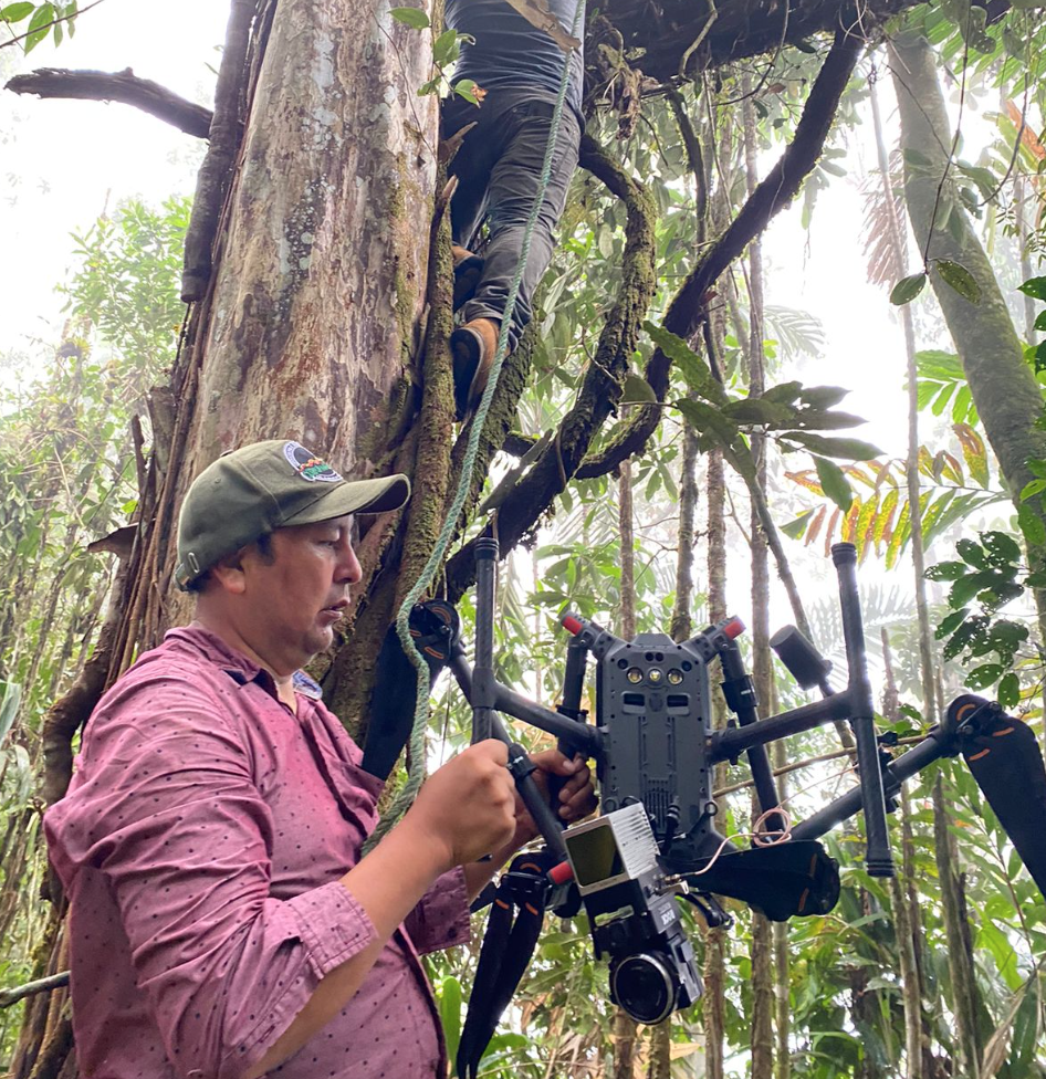
A staff member from Corpoamazonia’s data collection team works in the field. Photo credit: Duber Rosero
The project also explored different machine learning methods to better understand what factors most heavily contribute to landslide susceptibility in Mocoa and to develop the most accurate landslide susceptibility model based on collected data and key hydrological, geological, and geomorphological features. While a variety of machine learning models are still being tested and data continues to be integrated, a first model resulted in an accuracy upwards of 92% for landslide susceptibility monitoring.
”This model has potential applications in informing urban planning, including the identification of almost real-time changes in susceptibility, the identification of areas of priority for direct intervention and mitigation works, and the generation of data and outputs for the early warning system,” explained Maritza Garzon, project coordinator at Corpoamazonia. “But this requires increasing the coverage and frequency of the data collection efforts. The model is also determined by the availability of a detailed inventory of historical landslide data which can be hard to come by, robust local meteorological and seismic data, and the quality and resolution of the data collected, which can be difficult [to access] due to the environmental challenges of the cloud cover and density of the vegetation.”
Beyond the technical component, the project has devoted equal efforts to community engagement and strengthening local capacities for risk understanding and management, as exemplified through the aforementioned CRN.
“Technology development can only bring us so far,” said Juan Camilo Osorio, associate professor at Pratt’s Graduate Center for Planning and the Environment, and founding partner and co-investigator of the project. “At the heart of the project, DECCA has launched a Community Researchers Network to acknowledge and position grassroots leadership to guide the creation of a genuine community-based planning and risk management process. We are grateful for the opportunity to help strengthen local technical capacity to investigate, communicate, and imagine opportunities to address the risk of landslides and inundation in Mocoa.”
The CRN has been working to strengthen the alliance between the institutional and academic entities and the community of Mocoa itself to raise awareness on the landslide susceptibility and the risks and opportunities around landslide monitoring and community action.
As part of this visit, the CRN convened, presented the work, and co-facilitated a series of local events, including a public meeting and Q&A session; an adaptation indicators workshop with the municipality and other local, regional, and and national entities; and a roundtable with academic institutions to further understand how a partnership could expand opportunities and refine the understanding of landslide susceptibility in the area.
“The CRN has emerged as the driving force behind outreach and impact, increasing the interest of the community to engage with more sophisticated data in their understanding of risk,” said Lucy Milena Castillo Landazury, CRN member, during the public meeting. “This active engagement has guided the project, and hopefully subsequent planning decisions, that will make Mocoa more resilient to future disasters.”

Lucy Castillo, member of the CRN, presents the prototype susceptibility map at a public meeting.
Photo Credit: Danielle Baez
Envisioning the next phase
As a pilot project, this work represented a first attempt at mobilizing the expertise of the academic community and financial resources from the Global Environmental Facility through the CAF Development Bank of Latin America to promote knowledge of landslide risk awareness through a deeply participatory process in a context of contention, distrust, and high climate risks.
Despite encountering numerous obstacles, the team has gleaned invaluable insights from this first phase that have provided the proof of concept needed to define priorities for a second phase.
“Looking at the future of the project, we envision to build on the strengthened data collection capacities to start cultivating local data processing capabilities and improving the landslide susceptibility models with more frequent updates and broader coverage; to continue to empower the Community Researchers Network with greater autonomy; to enhance collaboration between technical elements and community stakeholders, alongside official advisors and newfound allies; and to broaden access to diverse risk information while enhancing interoperability with early warning systems” said Marcela Angel, research program director at the ESI.
This future phase could be focused on strengthening technical and technological capabilities for landslide susceptibility monitoring, developing actions that strengthen the capacities of vulnerable communities in Mocoa for risk preparedness and nature-based risk reduction actions, disseminating risk information with a focus on equitable access, and leveraging the technological infrastructure and network of partners for the implementation of nature-based solutions for climate adaptation.
The trip concluded with a workshop in Bogotá focused on opportunities to involve microfinance institutions and how to use landslide susceptibility data to catalyze financial inclusion for the region, and possibly fund the technological and human capacity that has been built out as a result of this project. Taken together, these actions set up a pathway for the continuation of a partnership that has been bridging the gaps in technology development and community engagement for climate risk monitoring in Colombia.
The DECCA project is supported by the Ministry of Environment and Sustainable Development of Colombia, with the economic support of the Global Environmental Facility and implementation through CAF Development Bank of Latin America. Questions about DECCA can be directed to Marcela Angel at marcelaa@mit.edu.