Menu


Artificial intelligence for urban biodiversity mapping
by Aaron Krol | September 16, 2022
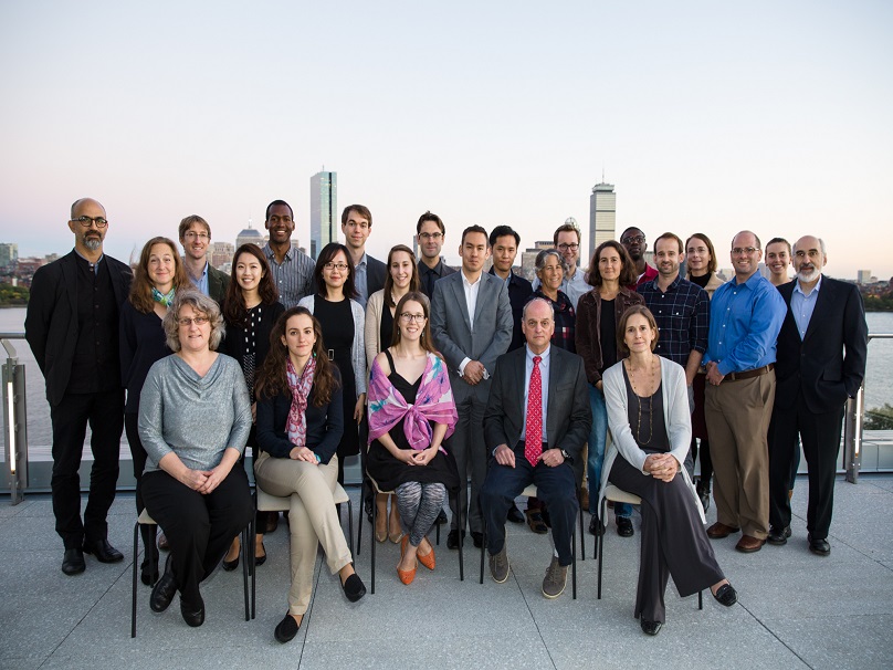
The MIT Environmental Solutions Initiative has received a seed grant from the MIT Climate and Sustainability Consortium (MCSC) for the ECO-LENS project, a framework using artificial intelligence (AI) to produce accurate maps of urban biodiversity.
Biodiversity is declining worldwide, driven by the intensification in land management and the transformation of natural areas for agriculture, industrial-scale forestry, and human settlements. Yet data on the variety and abundance of species in urban areas is often limited. Biodiversity in and around cities is typically measured through occasional surveys by human observers, a time-consuming and error-prone process especially when trying to map biodiversity at scale and in areas of rapid change.
With ECO-LENS, ESI plans to develop a system that can quickly and automatically interpret biodiversity data from satellite imaging and unmanned aerial vehicles, at scales ranging from the overall vegetation coverage in and around a city, to maps of the urban tree canopy, down to identification of individual tree species. The intent is to develop a rich picture of cities’ trees in closer to real time, at a fraction of the cost of human surveys, to inform urban and peri-urban forestry efforts to enhance species conservation and benefits to residents.
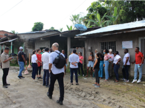
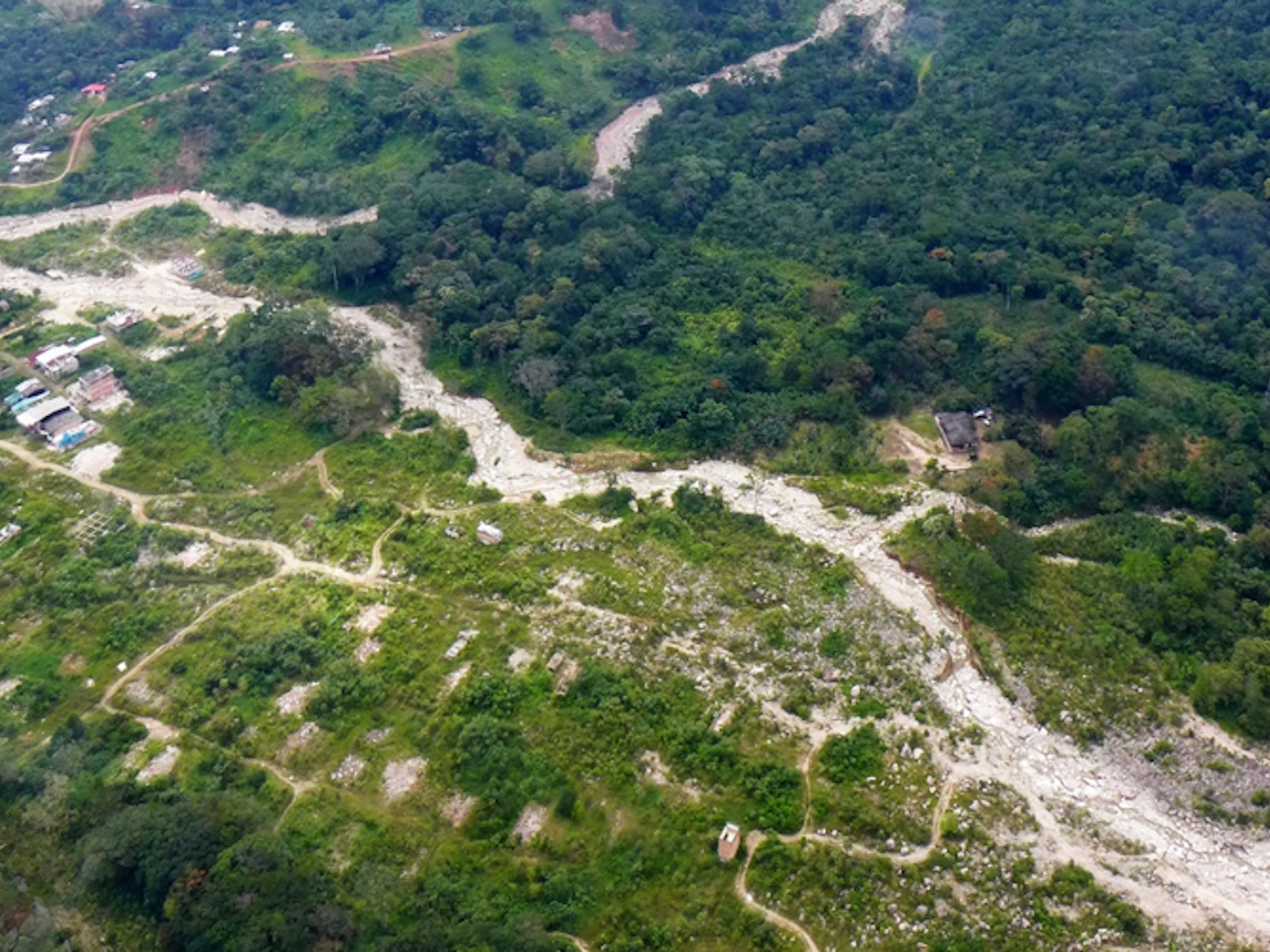
Members of ESI and MIT students visit the La Esmeralda neighborhood of Quidbó, Colombia, for a previous urban biodiversity project. Photo: Yujie Wang
ECO-LENS will begin in two Colombian cities with which ESI has already developed close relationships: Quidbó, in the Chocó region and the Tumbes-Chocó-Magdalena biodiversity hotspot, and Leticia, within the interior Amazon forest. Both cities are located inside highly biodiverse and carbon-rich tropical forests, where biodiversity conservation is of high importance to both the local economies and the course of global climate change. Alongside developing the AI systems to interpret data from these regions, ECO-LENS will focus on deep engagement with stakeholders within these cities, including municipal governments and community groups, to ensure the resulting data is put to use in locally meaningful ways.
“Acquiring this biodiversity data is very exciting from a scientific perspective, particularly for cities in the Global South that often lack detailed inventories of their green infrastructure, but it is only meaningful if we are thoughtful about how to turn it into action,” says Marcela Angel, one of the co-PIs of the project. “What we really want to do is strengthen participation of local stakeholders and citizen science, so that urban planning and biodiversity conservation reflects local needs informed by advanced computational tools.”
ECO-LENS has hired a graduate student, Enrique Montas of the Department of Electrical Engineering and Computer Science, to implement the first phase of the project by developing a machine learning pipeline for interpreting data on urban vegetation from satellite imagery. With this large-scale picture in hand, fieldwork in Quidbó and Leticia is anticipated to begin in spring 2023.
“We’re proud to be one of the first recipients of an MCSC seed grant for this project,” says co-PI Norhan Bayomi. “ECO-LENS reflects our shared goal of preserving the world’s vital carbon sinks, and it also reflects an ethos we share with the MCSC—that state-of-the-art technologies can empower local communities to protect the climate and the natural environment, and not be exclusive to wealthy institutions like MIT.”